About Us

Our Story
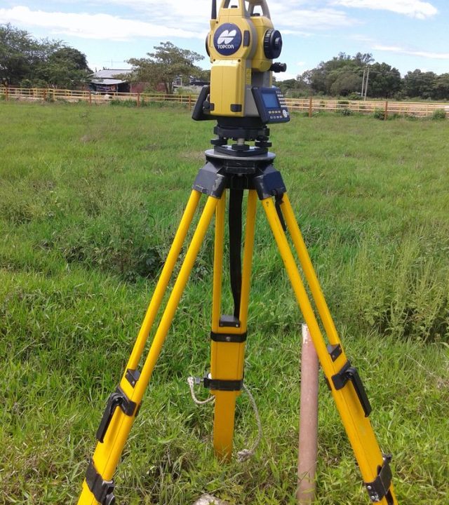
Jesse Geomatics is an indigenous company incorporated August 18, 2016 with RC 1355307 to provide professional services in the field of Digital Mapping, Mine Surveying, Land Surveying, Engineering Surveying, Database Creation, and Geo – Information Production.
The Company since its inception has been pursuing the best and fastest systems of geo-information production. The company is endowed with young, energetic, and indefatigable professionals with over sixteen years of experience in advance technologies in integrated map and geo-information production. The company is being propelled in the direction of using the latest information Technology to automate all its services.
- Professional Specialist
- Brilliant Ideas
- Precise Builders
- 24/7 Assiatance
What We Offer

Verify Compliance with Land Use Laws
Ensure that developments comply with zoning regulations, easements, and planning guidelines.

Conduct Site Reconnaissance
Visit and inspect the site to assess terrain, vegetation, access routes, and potential obstructions before beginning the survey.

Stake Out Construction Sites
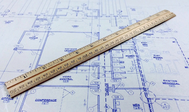
Translate design plans into real-world coordinates to guide excavation, foundation setting, and utility placement.
We Provide the Best Service in Industry
Add a line that tells users how easily they can get in touch with you
