

This site survey project was critical to ensuring the successful planning and implementation of the residential estate.

Surveyor Tope
CEO Jessegeomatics

"The survey was conducted on a 15-hectare parcel of land located in [Insert location], designated for mixed-use development including residential, commercial, and recreational zones."

Surveyor Wale
Deputy Surveyor, Jessegeomatics
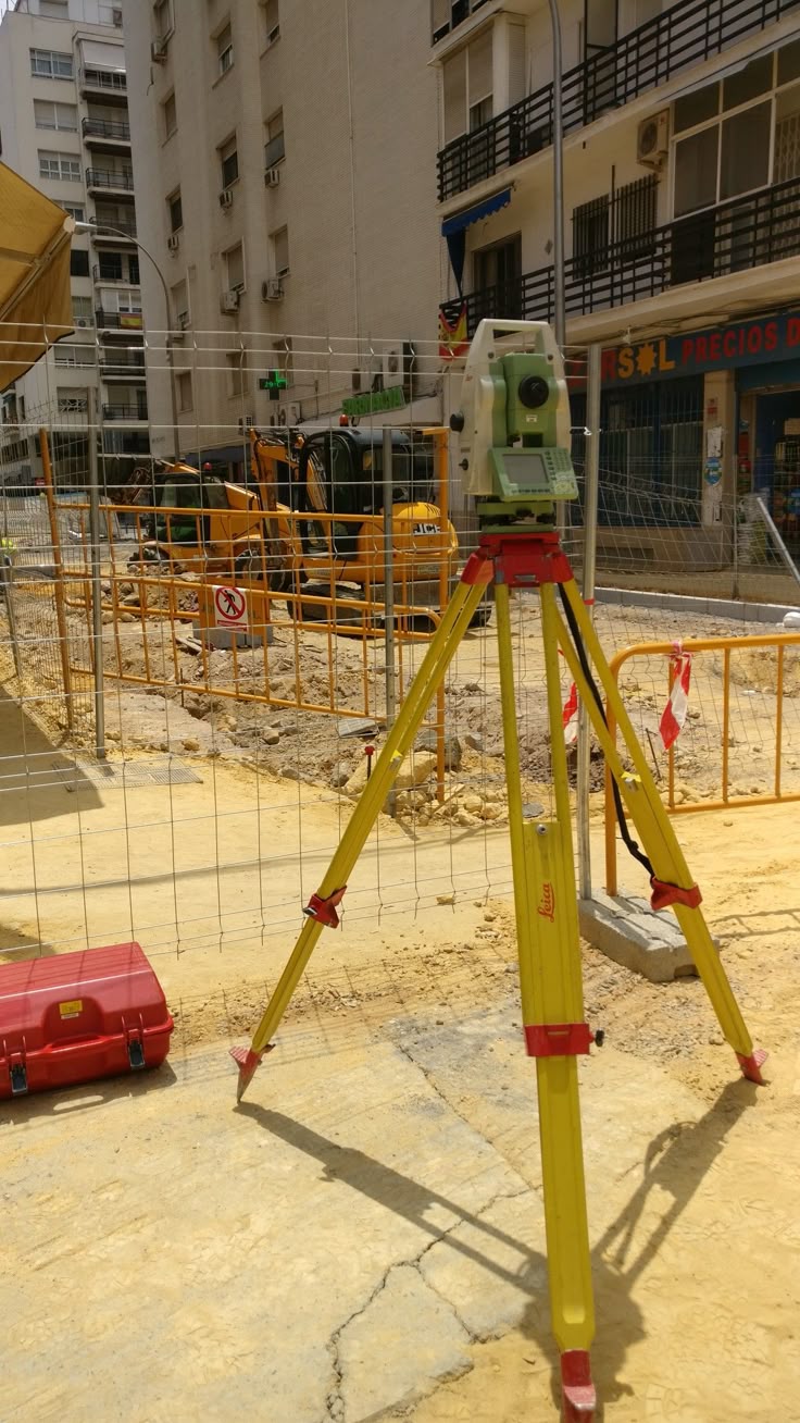
"The main objective of the project was to establish accurate boundary limits, analyze topographical conditions, and identify existing physical features on-site."

Surveyor Tope
CEO Jessegeomatics