Welcome to Jesse Geomatics.
Where We Build Your Visions
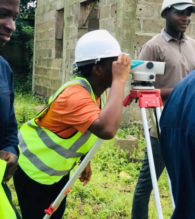
Survey is a critical preliminary step in any construction or development project. It involves the systematic inspection, measurement, and mapping of a physical location to collect accurate information about its existing conditions. This process provides essential data that helps architects, engineers, contractors, and developers make informed decisions, avoid costly mistakes, and ensure the safety and success of the project.
- Call Us Today
+234 803 411 6676

Get Your Free Consultation
A site survey is a critical preliminary step in any construction or development project. It involves the systematic inspection, measurement, and mapping of a physical location to collect accurate information about its existing conditions.

Our Specialization
Surveyors are essential in almost every construction and infrastructure project. From roads and bridges to buildings and pipelines, accurate land measurement is essential.
Land Surveying
As Land surveyors we measure and map land boundaries, plot divisions, and property lines.
Engineering Surveying
Engineering surveyors focus on construction and infrastructure projects.
Topographic Surveying
These surveyors create detailed maps that show the contours, elevations, and natural/man-made features of a site.
Geodetic Surveying
This specialization involves surveying large areas of the earth's surface using satellites and global positioning systems (GPS).
Aerial Surveying
Using drones, satellites, and aircraft, aerial surveyors collect data from above.
Utility Surveying
These professionals locate and map underground utilities like gas lines, water pipes, and electrical cables.
What Our Clients Say
You can use these sections to highlight the features of heading. Use these paragraphs to focus on the topic you want. Make sure you keep it short and attractive.
Our Recent Projects
Our project involves conducting a comprehensive site survey to support planning, design, and development decisions. The survey will include topographic mapping, boundary demarcation, utility identification, and all relevant geospatial data collection.
